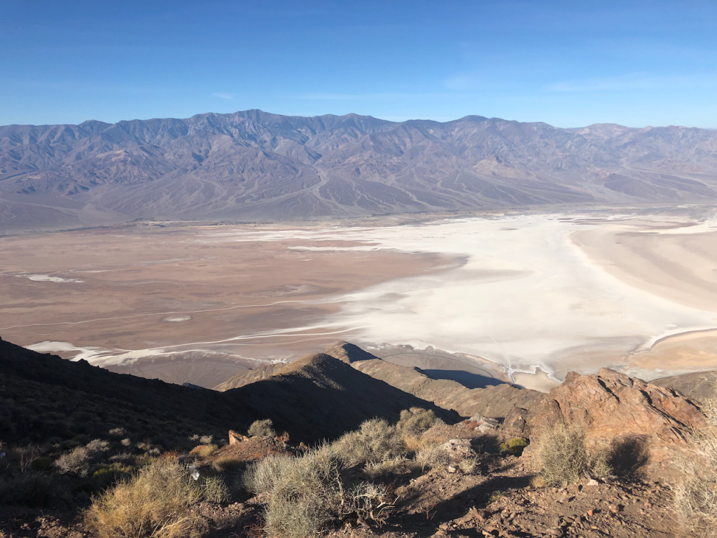
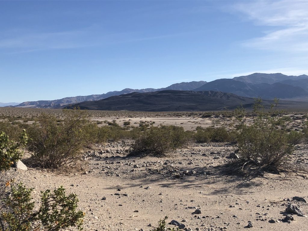
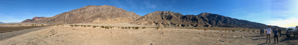
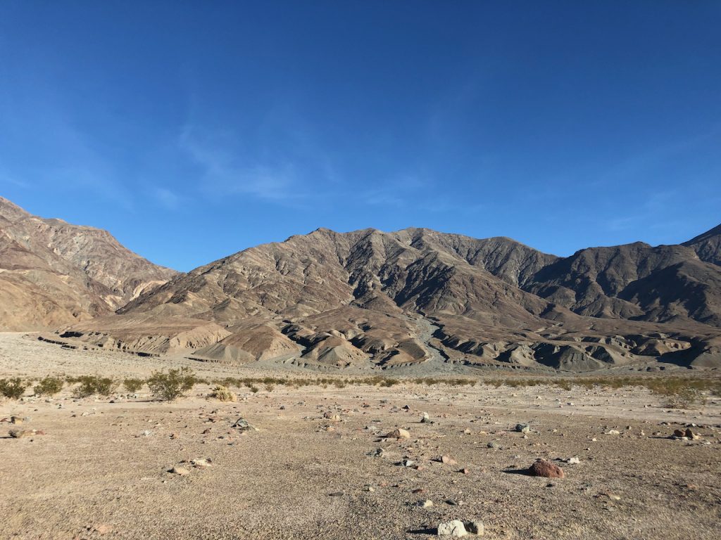
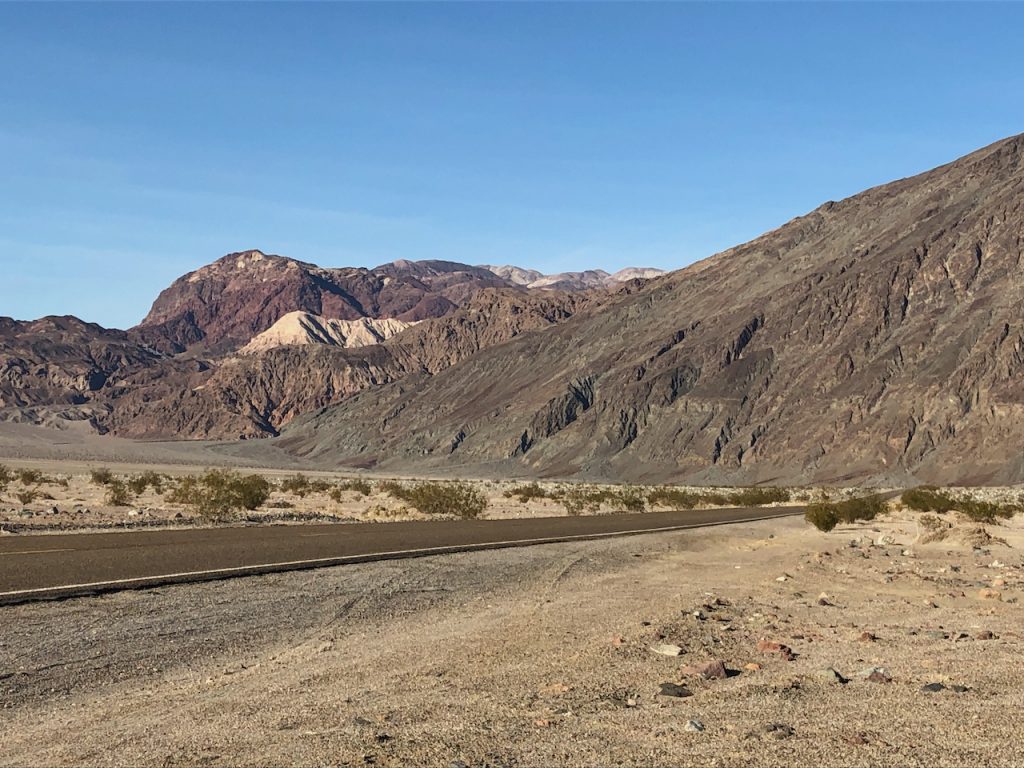
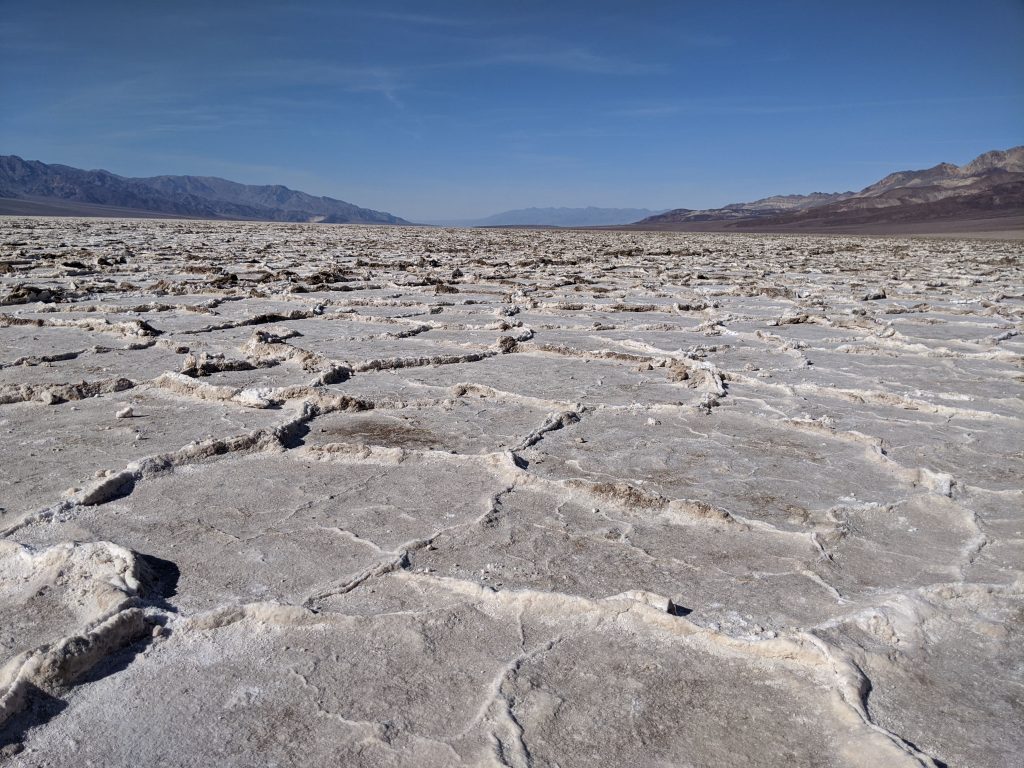
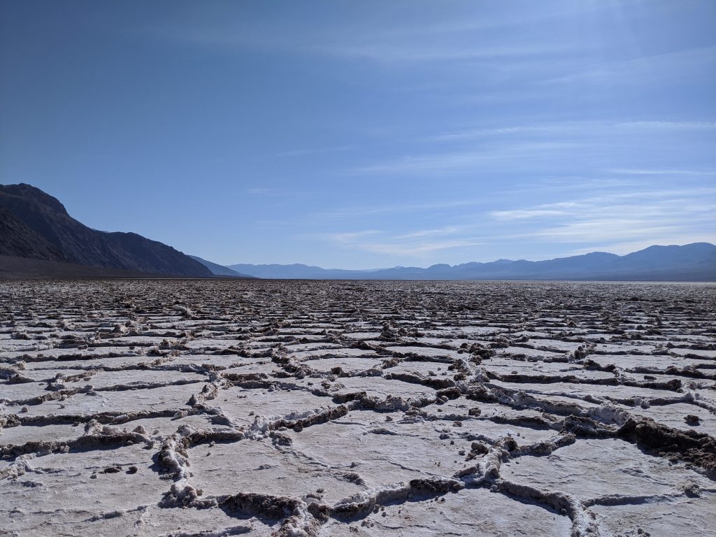
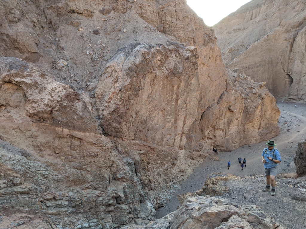
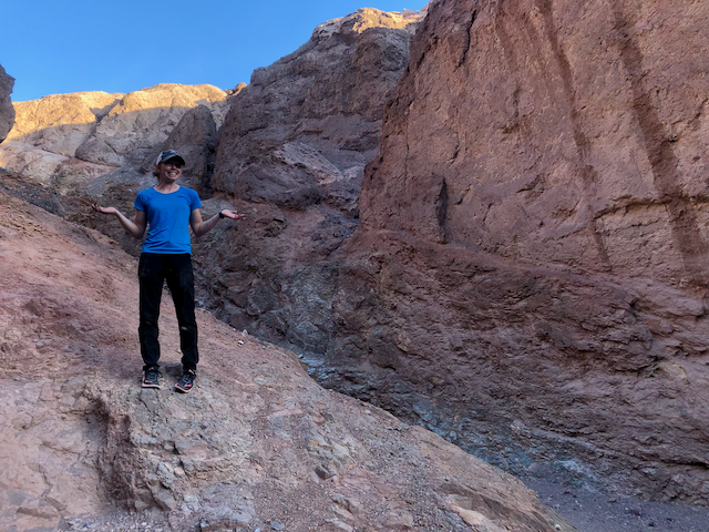
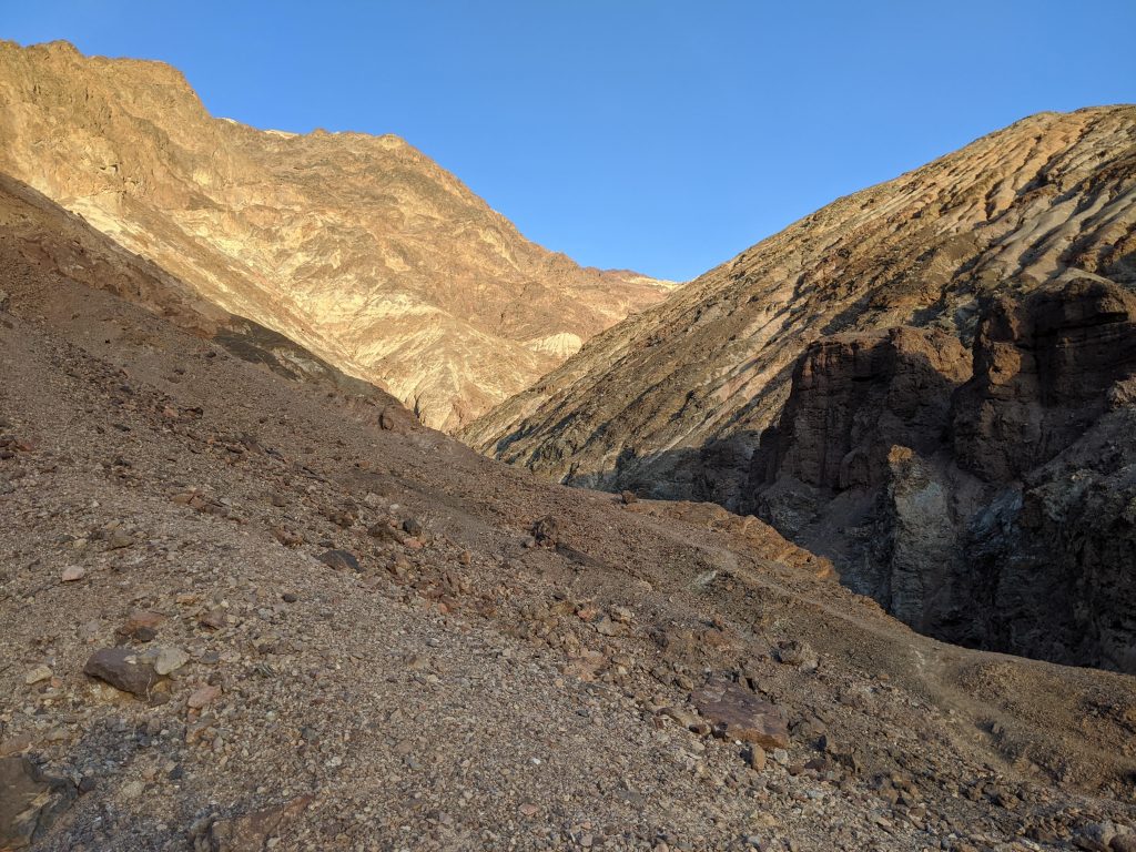
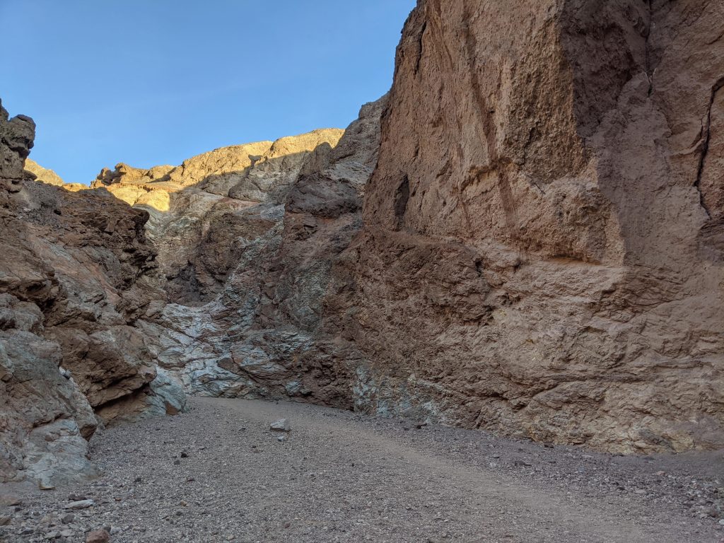
The modern topographic expression of Death Valley expresses dramatic extension in this western portion of the Basin and Range. Structural relief is at least 6.5 km, with about half of this is preserved as topographic relief, and the other half filled with ~3 km of sediments, based on gravity modeling and surveys (Norton, 2011). Topographic expression and basin fill is asymmetric, with the thickest sedimentation adjacent to the fault-bounded margin of the basin on the east (Black Mountains) side; thus the basin represents a half-graben geometry. This asymmetry is also reflected in the drainage pattern and alluvial fan geometries that can be observed (especially well from Dante’s View): on the fault-bounded side of the basin, drainages are steep and drainage areas are smaller, leading to steeper, smaller alluvial fans, while on the rollover side of the half graben, topography varies more gradually, drainage areas are larger, and alluvial fans are larger as well. This most recent stage of extension is oblique extension, which is accommodated by predominantly NW-striking strike-slip faults to the north (Furnace Creek Fault Zone) and to the south (Southern Death Valley fault Zone) of the basin, while the basin itself is bounded by the primarily dip-slip Death Valley Fault Zone on its eastern side. We see evidence for the recent activity of these fault systems at several field stops by observing how they offset and deform features of various ages, including Quaternary basin fill, strandlines from former Lake Manly (a large lake that filled the valley during the Pleistocene), and even an offset cinder cone.
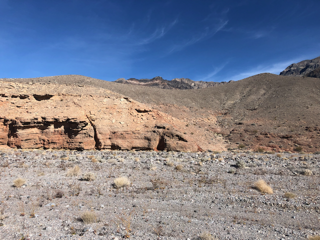
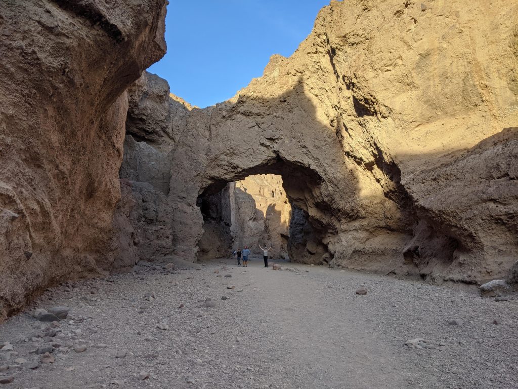
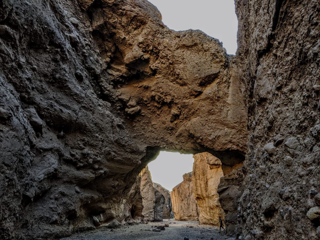
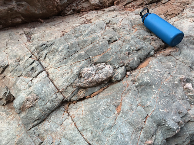
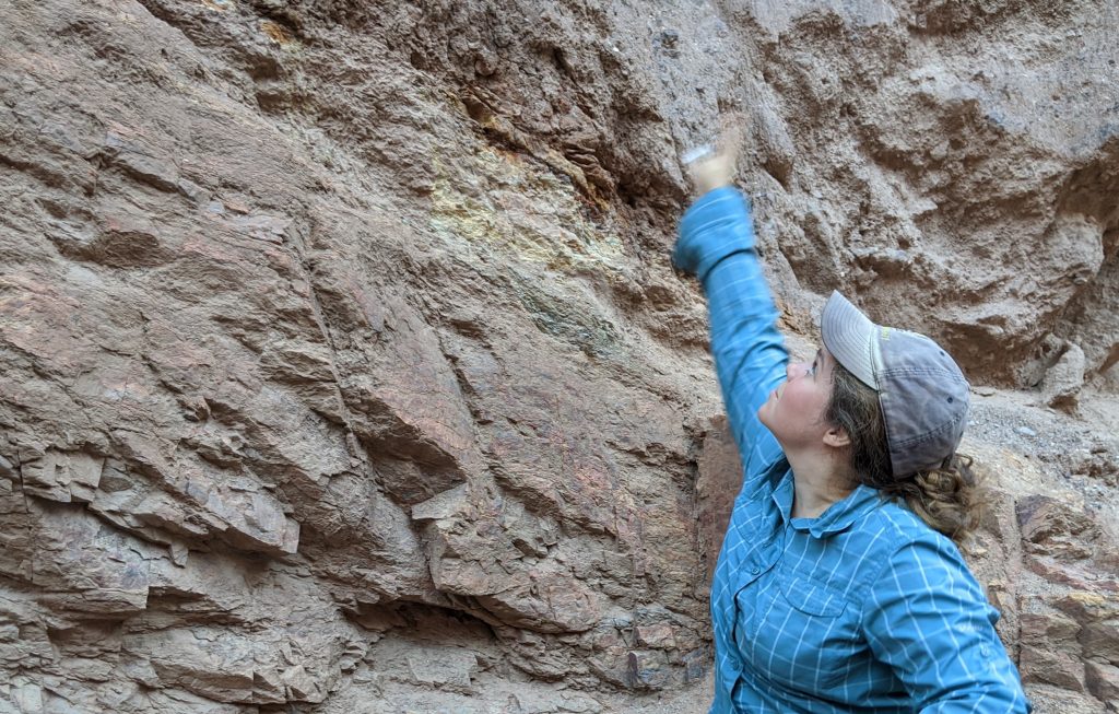
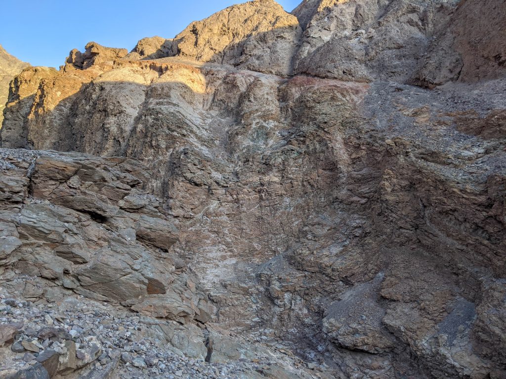
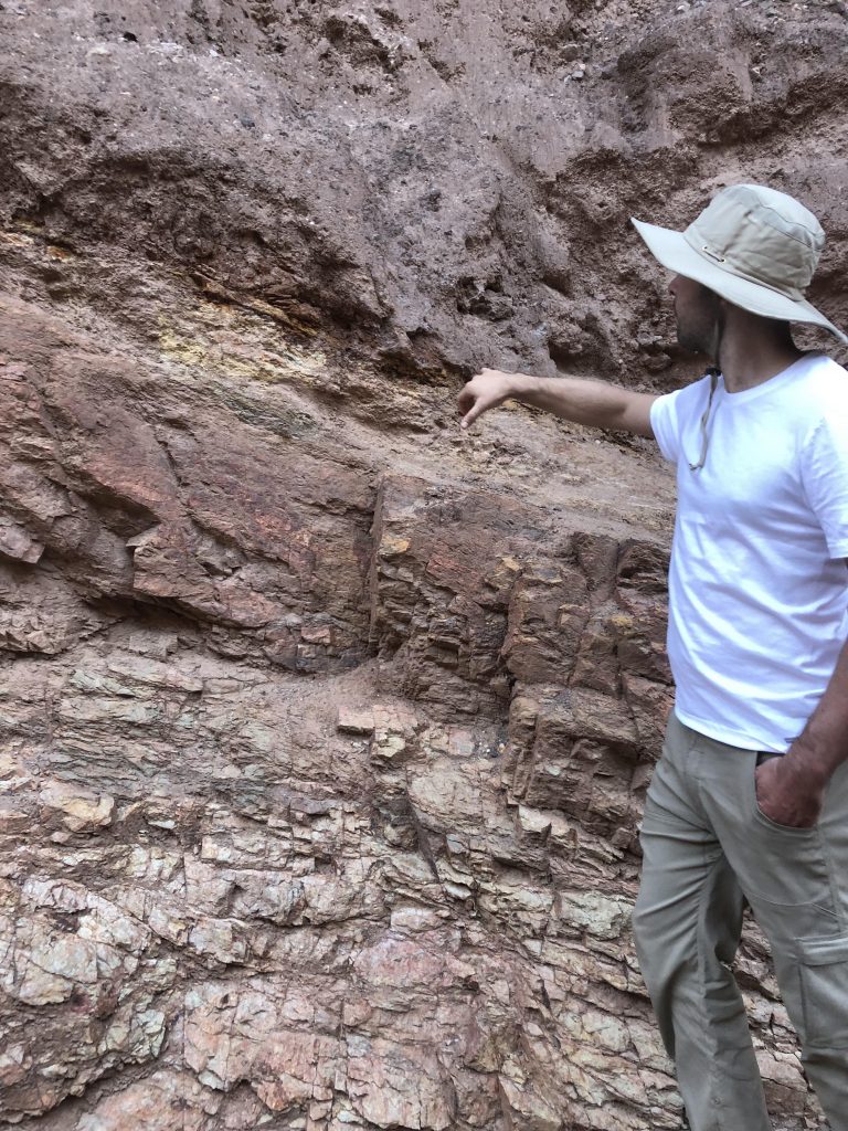
However, before the modern transtensional fault system was established, this area had already undergone a significant amount of extension associated with the formation of core complexes that can be observed at many field stops throughout the area as well. These are expressed as large-offset low-angle normal faults; they juxtapose green-colored Precambrian metamorphic basement rocks in their footwalls with mostly red-colored Tertiary terrestrial sedimentary and volcanic rocks of the Copper Canyon and Artist Drive formations. Juxtaposition of these rock units requires slip on the associated fault of on the order of 10s of kilometers, so these features represent extreme extension; so extreme that it exhumes the Precambrian rocks that have been subject to mid- to lower- crustal metamorphic conditions to the surface. As these faults continue to extend and thin the crust, they are uplifted and deformed into dome-shaped corrugations in the fault surface. The mechanical conditions that allow for low angle normal faults to continue to slip and accommodate extension is a point of significant discussion in the scientific community; we inspect one of these fault surfaces up close, the Badwater Detachment, on the Natural Bridge trail, in order to discuss the various properties of the fault zone that we can observe that give us hints as to the mechanical conditions that permitted slip on this low angle normal fault.